m (→To do) |
m (→La Charca Verde) |
||
| Line 729: | Line 729: | ||
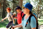
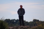
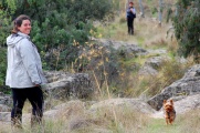
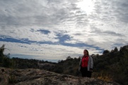
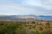
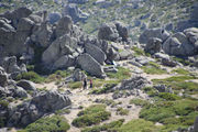
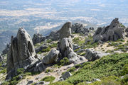
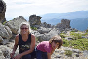
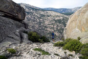
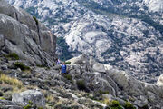
On {{thisday|30|April|2022}}, also our first [[campervanning]] stay at [[la Pedriza]], so an opening walk to the [[#Yelmo and Tolmo|main one]], on the next day. | On {{thisday|30|April|2022}}, also our first [[campervanning]] stay at [[la Pedriza]], so an opening walk to the [[#Yelmo and Tolmo|main one]], on the next day. | ||
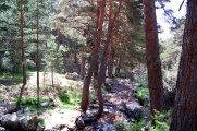
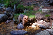
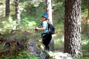
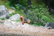
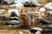
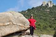
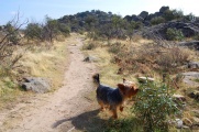
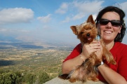
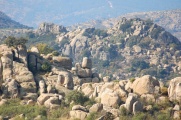
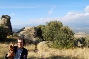
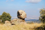
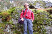
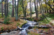
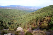
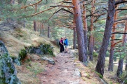
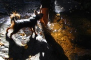
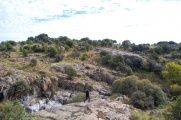
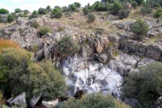
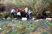
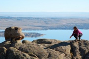
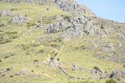
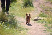
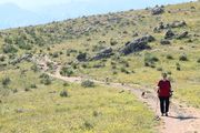
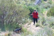
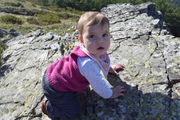
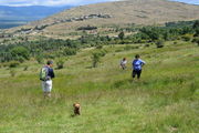
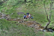
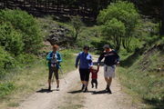
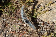
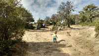
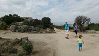
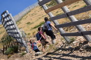
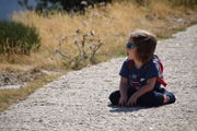
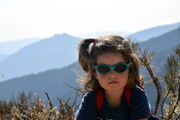
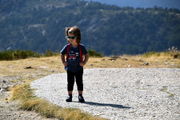
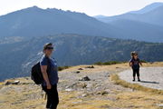
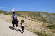
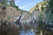
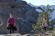
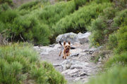
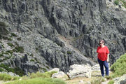
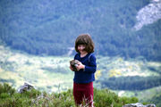
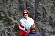
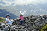
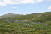
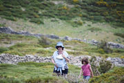
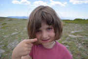
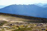
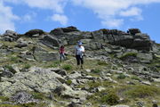
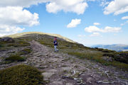
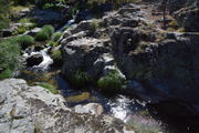
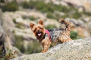
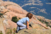
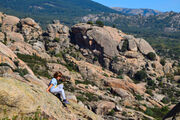
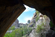
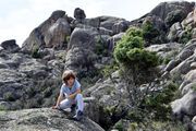
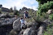
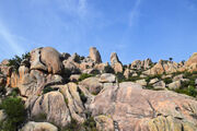
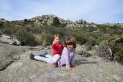
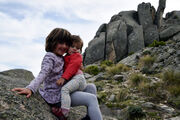
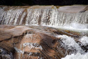
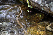
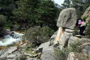
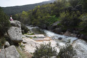
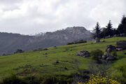
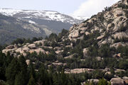
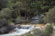
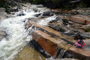
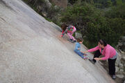
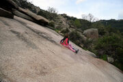
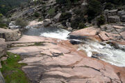
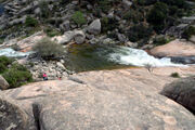
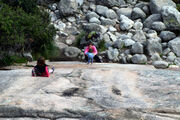
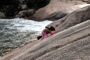
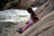
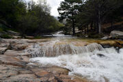
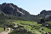
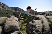
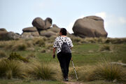
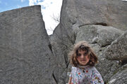
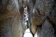
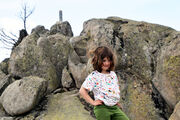
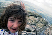
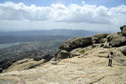
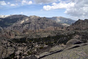
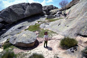
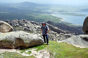
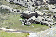
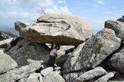
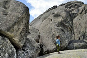
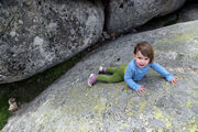
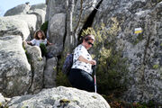
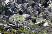
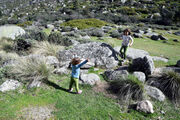
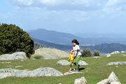
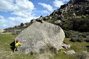
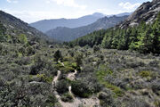
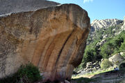
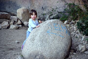
| − | + | We walked along the [[Manzanares]], from [[Cantocochino]] towards the Charca Verde, that was our destination on this occasion, although one can carry on further until the ''Chorros del Río Manzanares'' and probably up till the birth of the rio, in the [[Bola del Mundo]]. We crossed with a snake that swiftly slid on the rocks and jumped into the tumultuous waters, swimming with an unsuspected grace with little jerks of its head, that it kept out of the water, able to cross in no time, presumably far from us as it was in no mood to share the Pedriza with tourists. The Charca Verde used to be a star destination for bathing, but this is now forbidden. The smooth slops surrounding the basin are natural toboggans for children and the luckiest of them manage to fall in the water by accident, enjoying a swim that the guards would probably excuse. It was not the case of our skilled little mountaineer who however tried very hard to venture in the slippiest parts of the flanks. | |
| − | + | ||
| − | We walked along the [[Manzanares]], from [[Cantocochino]] towards the Charca Verde, that was our destination on this occasion, although one can carry on further until the ''Chorros del Río Manzanares'' and probably up till the birth of the rio, in the [[Bola del Mundo]]. We crossed with a snake that swiftly slid on the rocks and jumped into the tumultuous waters, swimming with an unsuspected grace with little jerks of its head, that it kept out of the water, able to cross in no time, presumably far from us as it was in no mood to share the Pedriza with tourists. | + | |
<gallery perrow=3 widths=200px> | <gallery perrow=3 widths=200px> | ||
| Line 743: | Line 741: | ||
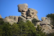
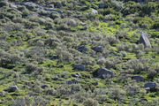
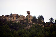
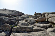
File:CharcaVerde-Manzanares-30Apr22-8.jpg|And the Manzanares in between. | File:CharcaVerde-Manzanares-30Apr22-8.jpg|And the Manzanares in between. | ||
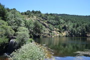
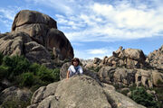
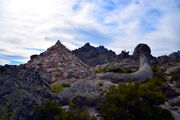
File:CharcaVerde-Manzanares-30Apr22-9.jpg|Paradise 30 minutes from [[Tres Cantos|home]]. | File:CharcaVerde-Manzanares-30Apr22-9.jpg|Paradise 30 minutes from [[Tres Cantos|home]]. | ||
| − | |||
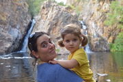
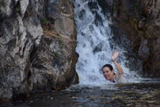
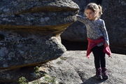
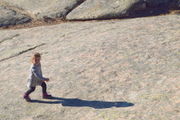
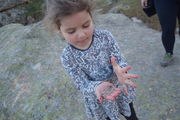
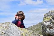
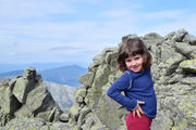
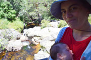
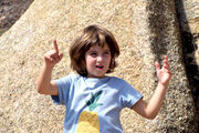
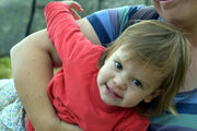
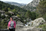
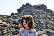
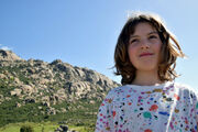
File:CharcaVerde-Manzanares-30Apr22-12.jpg|Julia meeting the river. | File:CharcaVerde-Manzanares-30Apr22-12.jpg|Julia meeting the river. | ||
File:CharcaVerde-Manzanares-30Apr22-13.jpg|The flanks of the Charva Verde provide a natural toboggan. | File:CharcaVerde-Manzanares-30Apr22-13.jpg|The flanks of the Charva Verde provide a natural toboggan. | ||
| Line 750: | Line 747: | ||
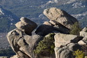
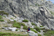
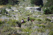
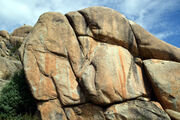
File:CharcaVerde-Manzanares-30Apr22-16.jpg|It is bigger than it looks if you have no people to serve as a scale. | File:CharcaVerde-Manzanares-30Apr22-16.jpg|It is bigger than it looks if you have no people to serve as a scale. | ||
File:CharcaVerde-Manzanares-30Apr22-17.jpg|It is also steeper than it looks. | File:CharcaVerde-Manzanares-30Apr22-17.jpg|It is also steeper than it looks. | ||
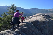
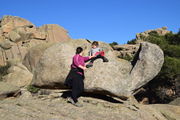
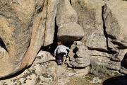
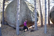
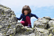
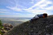
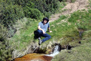
| − | File:CharcaVerde-Manzanares-30Apr22-18.jpg| | + | File:CharcaVerde-Manzanares-30Apr22-18.jpg|Julia wouldn't stop trying to dominate gravity under increasingly steeper and slippier conditions. |
| + | File:CharcaVerde-Manzanares-30Apr22-19.jpg|Close to a breaking point! | ||
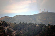
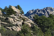
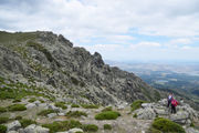
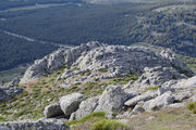
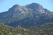
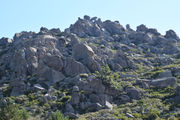
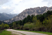
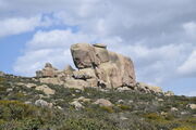
File:CharcaVerde-Manzanares-30Apr22-20.jpg|The ''Caliz'' in the distance, not condoning our childplays. | File:CharcaVerde-Manzanares-30Apr22-20.jpg|The ''Caliz'' in the distance, not condoning our childplays. | ||
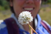
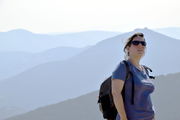
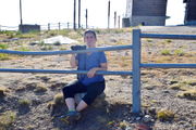
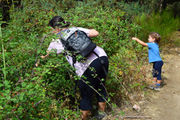
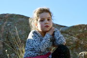
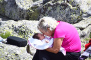
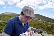
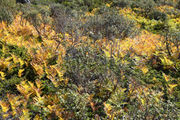
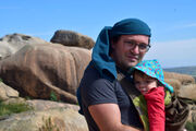
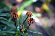
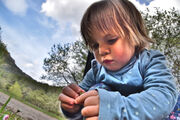
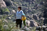
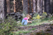
File:CharcaVerde-Manzanares-30Apr22-22.jpg|[[Luz]] studying the local flaura. | File:CharcaVerde-Manzanares-30Apr22-22.jpg|[[Luz]] studying the local flaura. | ||
Revision as of 08:25, 26 May 2022
Hiking in la Sierra de Madrid
This is a list of our walks in the Sierra de Madrid. You can download the GPX data for all these walks together.
Fuente de la Campanilla
On 3 June (2012) with Elena's parents.
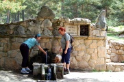
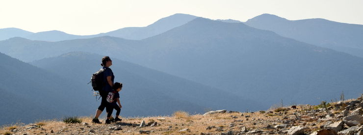
The fountain of the bell lies in the woods of Navacerrada in the Sierra de Madrid. It has a bell which people ring before drinking the icy cold water from the mountains.
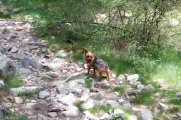
It turned out to be the last walk of Onyx, our terrier, who passed away one month and one week later. As one can see from these pictures, although 14 years old and a half, he remained healthy till the end, in fact, till the very last day.
El Cerro de San Pedro

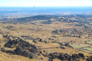
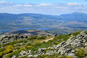
The Cerro de San Pedro is a landmark of the Sierra de Madrid, as it stands alone from the rest of the chain of mountains from the Sistema Central. Its small height and spread out distribution makes it an easy hike. It affords splendid views of the north of Madrid, being so close, and of the rest of the Sierra, around it. After hiking it, we passed by Guadalix de la Sierra and Soto del Real.
![]() Download the gpx file for this track.
Download the gpx file for this track.
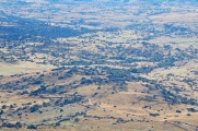
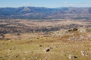
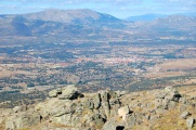
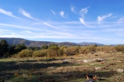
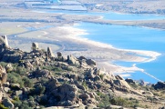
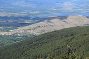
With Manzanares el Real in background, and its pantano, it's actually a lot of water.
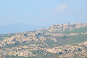
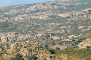
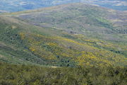
Here a palette from desert sand, that is actually reddish, and certainly all the variations of chartreuse.
Sierra de Hoyo de Manzanares
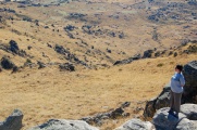
On 13 October (2013), with Tizón. We did not expect much from this little patch of Sierra, far from the mighty Pedriza. But it exploded all our expectations. It was very quiet, we met nobody there, and the views and feels are about as grandiose as those of the most famous spots in the Sierra de Madrid. We also had a nice view of the Palace of Canto del Pico, with its strange architecture, even at a distance, and made famous as a residence of Franco.
![]() Download the gpx file for this track.
Download the gpx file for this track.
Abedular de Canencia
On 27 October (2013), with Elena's parents and Tizón.
![]() Download the gpx file for this track.
Download the gpx file for this track.
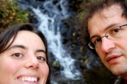
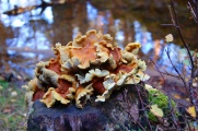
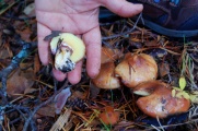
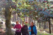
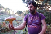
![]() This excursion was from a book of scenic routes in the Sierra, bought by Elena en marge of a manifestation in Madrid, and in the company of Inma & Julio. We quickly realized that it was bringing us to the Chorrera de Mojonavalle which we had visited back in July 2008 with Daniele and where I almost killed myself, slipping while climbing the waterfall (?!) The choice of a wood was motivated by Autumn, and we headed for this popular location where birch trees (abedules) mix with pine trees. It had rained a lot the previous days, and many mushrooms enthusiasts were passing by with full baskets. So abundant were the Boletus edulis that we also found enough ourselves for the supper. Another unexpected encounter was with the Spanish celebrity Dani Mateo who was enjoying family moments hiding in a cap that could not however also conceal his peculiar voice (and who tried to climb the waterfall in very much the same foolish and dangerous way I did in 2008).
This excursion was from a book of scenic routes in the Sierra, bought by Elena en marge of a manifestation in Madrid, and in the company of Inma & Julio. We quickly realized that it was bringing us to the Chorrera de Mojonavalle which we had visited back in July 2008 with Daniele and where I almost killed myself, slipping while climbing the waterfall (?!) The choice of a wood was motivated by Autumn, and we headed for this popular location where birch trees (abedules) mix with pine trees. It had rained a lot the previous days, and many mushrooms enthusiasts were passing by with full baskets. So abundant were the Boletus edulis that we also found enough ourselves for the supper. Another unexpected encounter was with the Spanish celebrity Dani Mateo who was enjoying family moments hiding in a cap that could not however also conceal his peculiar voice (and who tried to climb the waterfall in very much the same foolish and dangerous way I did in 2008).
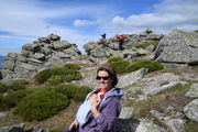
Our delegation for today (plus Tizon).
On top of the Perdiguera.
Along the Manzanares
On 1 November (2013). With Elena's parents and Tizón.
![]() Download the gpx file for this track.
Download the gpx file for this track.
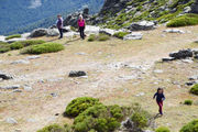
This is very close from Tres Cantos and Colmenar, and again is an area of unsuspected beauty, suitable for shorter walks.
In between lies the Manzanares on its way from the mountain towards Madrid.
Julio, thoughtful or dreamy.
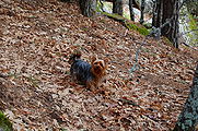
Tizon going back and forth.
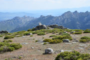
The Pedriza in the distance.
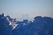
Madrid is not too far either.
The Yelmo
On 7 December (2013). With Tizón.
![]() Download the gpx file for this track.
Download the gpx file for this track.
The Yelmo is the highlight of la Pedriza. This area is so beautiful, we hardly dare to go. Each walk in the area is replete of adventures, overwhelming feelings and time pressure. This was no exception as we could not complete the loop and had to take a taxi to bring us back to our starting point.
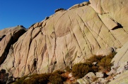
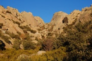
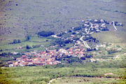
La Pedriza, as seen from Manzanares el Real.
The Manzanares (river) carving the Pedriza, on its way through the village (el Real) towards Madrid.
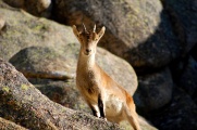
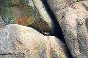
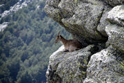
One specimen of the abundant Spanish ibex populating the area.
La Pedriza
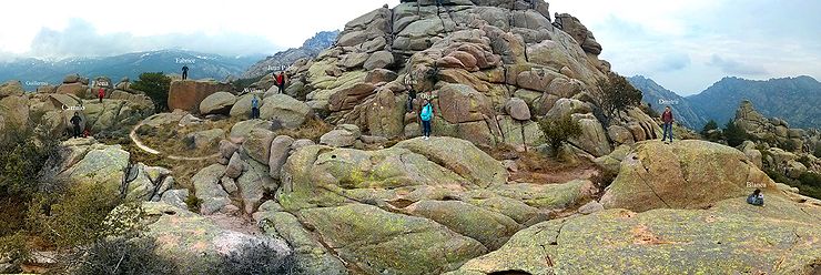
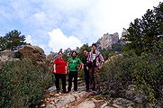
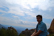
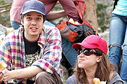
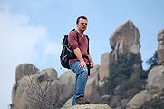
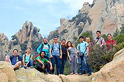
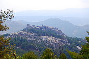
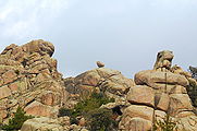
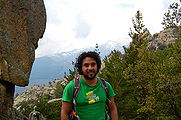
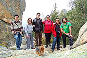
On 20 March (2014). With Carlos Sanchez, Blanca Silva, Juan Pablo Restrepo, Guillermo Guirales, Camilo López-Carreño, William Júnio Lima, David Colas, Dmitrii Vishnevskii, his wife Irina and their friend Olga, and of course, Tizón.
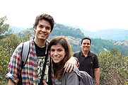
Love (cf. "Love").
The Geek (cf. "The Clown")
El Cerro de San Pedro, in the springtime
On 17 May (2015), with Julia and Tizón.
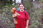
It had been a long time, well over a year, since our last hike in the Sierra de Madrid, due to our Madrilean year. To get it on track again, we returned to the Cerro de San Pedro, which is an outstanding hike with a terrific view of a good portion of the Comunidad de Madrid. It is also our opening walk of this series, and we went the both of us. This time, we were accompanied by Julia and our little dog.
Hayedo de tejera negra
On 7 November (2015). This was before Fabrice's trip to Bruxelles for the European Union. We went there for the autumnal palette but had apparently missed the narrow window of optimum colours by a few weeks, as the woods were all mourning already, but the mountains were splendid. They never fail to impress.
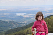
Julia enjoying the pure air.
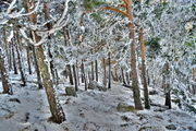
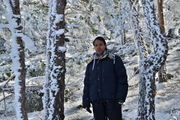
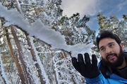
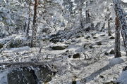
The snow in Castilla y León
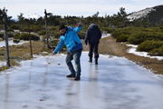
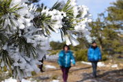
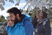
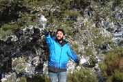
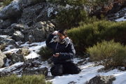
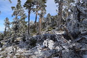
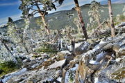
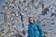
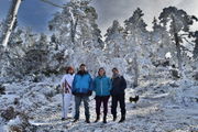
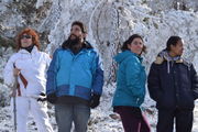
On 17 January (2016), we went with Isabel and Camilo (also with Elena's parents, Tizón, ourselves and Julia) to the mountains, with a specific aim: to meet the snow, a first time for Isabel & Camilo (Julia got close enough in Auvergne in March (2015) but this basically was a first experience for her too as she was so tiny earlier; in fact she still has occasions to discover the snow for the first time!). There has been little snow in Europe this year, so we had to go a bit far, to the frontier of the Comunidad de Madrid, at its meeting point with Castilla y León.
Cette boule de neige, était une boule de neige. [1]
Julia, 17 of January 2016.
Isabel, facing North.
Camilo, courting a tree.
Elena in the seriously frozen part.
Garganta de los Montes
On 18 June (2016), with Elena's parents and Tizon, we went to the mountain that sits behind the Cabrera, of which it affords a splendid, if not unfamiliar, view. It is largely forgotten from tourists and hikers so that you can enjoy a peaceful stroll among cows wandering freely and, in our case, even a flock of goats guarded by two half-savage dogs who galloped towards us as we reached the top. This reached a moment of extreme tension as they chased Tizon and captured him for a few seconds of extreme shock as it wasn't clear if they were not going after his life. Despite the horror, me jumping onto the dog (harming my leg in the way), Inma's shouting in shock, it so appeared they wanted to play with him as he was unharmed (he got the scare of his life and the moaning he made when he got caught, unable to escape the much faster dogs, appeared to all of us as that of a prey being murdered). Thankfully, all went well and we could complete the tour with only a good fright.
Hoyo de Manzanares: Cruz del Pan
On 12 October (2017), with Elena's parents and Tizon, Elena and Julia (without Fabrice) went to Hoyo de Manzanares to do the circular walk of Cruz del Pan. It took them around 3-4 hours because Julia was walking around 50% of the track.
La Bola del Mundo
On 26 August (2018), with Camilo.
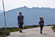
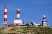
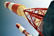
The alto de las Guarramillas is better known as the "bola del mundo" by Madrilenes, due to the old Spanish TV displaying in its announcements the antennas that crowns the top of the mountain on a stylized globe. It affords a rare view of the Communidad de Madrid, with Manzanares el Real, Colmenar Viejo, Tres Cantos and Madrid all lined up (you can get an idea of this view from one of our panoramas). This is a special spot for us as this is the view we have from our breakfat terrace in Montecito.
It is an easy (7.8km) hike from the Puerto de Navacerrada till the top and back, on a fully paved road, which decided us to attempt it in the last days of recovery of Fabrice's surgery (we used to walk round Tres Cantos before that). Since Fabrice couldn't carry Julia, this is also the first mountain excursion she fully completed on her own! It took us 1h30 to the top, going slowly. We spent another one hour there, marveling at the view with a snack. It was thrilling to identify our flat from so far away (29.5km in a straight line). We missed the Ventisquero de la Condesa, which is the birthplace of the Manzanares, that was a few hundred meters away but a fact we discovered only afterward. It was another hour to go down. The day ended with a nice dinner at the Terraza Jardin Felipe in Navacerrada.
It's actually one of the highest paved roads in Europe!?
Navacerrada is a place usually replete with snow, but of course not in August.
On one side, the tree-covered cool and well irrigated mountains of Castilla-Léon.
On the other side, the arid, rocky, burning mountains of the Comunidad de Madrid.
The bola del mundo, in the full details of what we can hardly make out from home.
Some views from the top: the bit of the mountain recognizable from our Fuente de la Campanilla expedition.
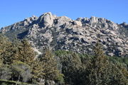
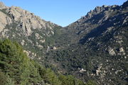
The Pedriza, with the Yelmo on the right, and the Cerro de San Pedro in the background.
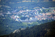
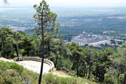
Manzanares el Real is neatly distinguishable, as is Colmenar Viejo. You need binoculars to appreciate Tres Cantos in some details.
La cascada del Hervidero
On 9 September (2018), with Camilo.
There are several waterfalls (cascada) in the Sierra, which give you the occasion of bathing in summer time. One of the most interesting waterfalls is quite close from home, in San Agustín del Guadalix.
Ducha de los Alemanes
On 15 September (2018), with Camilo and Elena's parents.
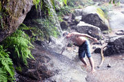
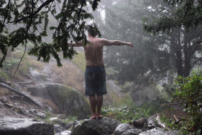
The highlight of this walk in the Valle de la Fuenfría was a waterfall, the shower of the Germans, called like this because German hikers liked to bathe in the pool, a tradition we found easy to honour as this segment of the trip was met with heavy rains.
Other interesting cascades include:
- Poza de Sócrates y cascadas de las Guarramillas
- Cascada de la Presa del Pradillo
El Caliz de La Pedriza y Peña Horcajo
![]() Download the gpx file for this track.
Download the gpx file for this track.
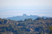
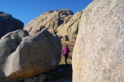
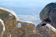
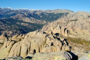
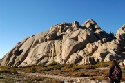
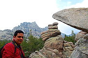
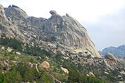
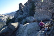
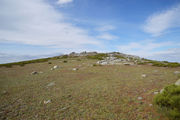
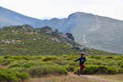
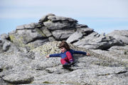
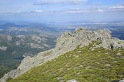
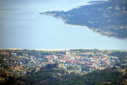
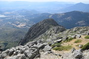
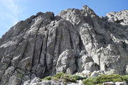
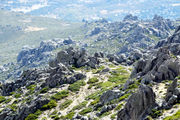
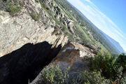
On 2 January (2019). Our first excursion of the year, on one less-regarded side of the Pedriza, with one highlight: El Caliz. We had selected it facil from Wikiloc, but once there, it turned out to be quite challenging. We could not close the loop through the wild vegetation as the path was regularly being lost in the rocks which were seldom making it possible to cut through, and we had one hour left of light, so we went all the way back (carrying Julia on the backpack to walk fast although she managed all the way up alone and would certainly have been able to complete the walk with enough time left). This is a great excursion that affords splendid views of the Pedriza and el Caliz is a unique boulder formation, changing shape and character from every directions (I named my computer after it). We also spotted the magnificent rock el Tolmo sitting between two mountains, to which we will return to pat it.
Madrid behind the mountain.
Puerto de la Morcuera y la Najarra
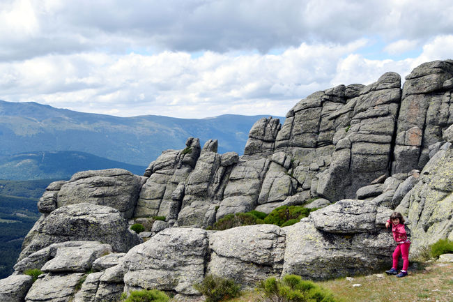
The one walk you should have in the Sierra de Madrid if you can make only one! For us it was a lengthier 8.78km loop, in a bit less than 7 hours (but only half moving), but this is an otherwise easy hike, though with breathtaking, emblematical and varied views of the mountain range of the sistema central, which we regard as the best way to enjoy this area of Spain.
![]() Download the gpx file for this track. In cyan, the main walk; in yellow, our first attempt the day before (Julia and Fabrice's going up and down & back and forth):
Download the gpx file for this track. In cyan, the main walk; in yellow, our first attempt the day before (Julia and Fabrice's going up and down & back and forth):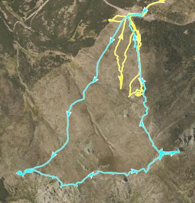
On 13 June (2020), with Julia, Luz, Elena and Fabrice.
This one was special as our first big excursion following confinement (last before that was the Caer Caradoc in the Shropshire hills). We made two attempts. The first one, on Saturday the 13th, with a direct climb to the Najarra, was unsuccessful as we lost track of each other in the first big rock formation, where Julia and Fabrice were bouldering, while Luz and Elena were taking a path round, which led to the two groups disconnecting. The hiking was more challenging than we thought and we got defeated so we got back home. It was also the first time we got campercita out and all the camper-part was down, for some battery problem. Despite sore muscles due, for instance, for Fabrice getting all the way back down to the car and up again when not finding anyone here, part of which carrying Julia, we decided not to take this incident for a no, and returned. The next day. 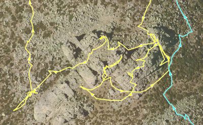
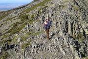
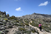
So, on 14 June (2020), this time also with Inma and Tizon, and going the other way around, that is, the gentle slop as an ascent and the sharp one as a descent (definitely the one we recommend), also starting slightly earlier (still very late by our hiking standards, c.~14:00), we finally completed the walk which, to our surprise, turned out to be, indeed, not difficult (it had been chosen for that) although not fully trivial in parts (see the images) but also, more importantly, truly outstanding with unique views on the cuerda larga, la Pedriza, la Cabrera, Madrid itself (!?), Tres Cantos (!?), etc., which makes this walk the one we'd recommend if you have only one to make in the area.
View of Montecito (our Tres Cantos flat), shown by an arrow, from the Collado de la Najarra. We are behind the first line of buildings, so we don't have a direct view to these mountains.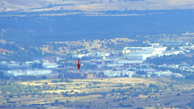 View of Madrid from the Collado de la Najarra.
On our first attempt, at the parking (mirador del Cossío), with Grelot.
We spent much time visiting the local summits, bouldering with Julia, leaving Elena and Luz increasingly behind (still visible on this picture)...
La Peña del Rayo emerging from the woods, for a future excursion (with la Pedriza in background).
Peña Citores, Las dos hermanas y Peñalara
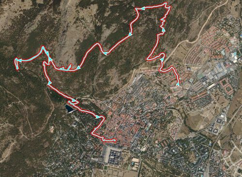
On Elena's 39th Birthday (22 June (2020)). A 14.9km loop in 5 hours with 690m total ascent/descent (skip 1.56km for Elena & girls and 90m ascent/descent from their skipping the end of Peñalara).
In green the part till the top of Peñalara by Fabrice alone: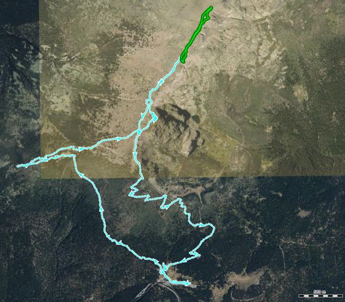
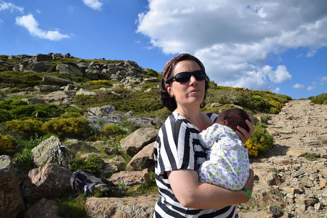
This was at the peak of the covid pandemic, after the confinement, and the first (so far only) time where we had been controlled to enter the Sierra, having to register at the "visitor center" to notify of our trajectory, and be attached bracelets to our wrists to grant us permission. The result of this useless procedure was a long queue (and piling up people). Since we did not follow the standard route, we have not been checked at all, and just lost time. Others just decided to go back home. Once in the mountains, it was easy to forget about this nonsense. We crossed only a couple at the beginning, that recommended us some area for bathing in the south of Spain after inquiring of Julia's tastes from their surprises of seeing a little girl outside, to which she obviously said that walking wasn't her thing but that swimming was. We did not meet anybody else afterward so our only contacts on this day were with other people queueing and the person in charge who was terrified of the slightest breach to the procedure, like Julia fretting and walking round the room as our planned trajectory was being recorded on paper.
Guille called to congratulate Elena on her 39th birthday.
La Sierra de Madrid from behind with la bola del mundo and Siete picos.
Meanwhile, Luz having her mountain lunch.
Fabrice and Julia towards Peñalara.
Flanks of the Abantos
A walk by the mountains of El Escorial on 26 July (2020), namely, the Abantos, with Inma and her brother Carlos (Elena's uncle) who suggested the route, selected for its practicality so staying on an isoline, avoiding the top and privileging a bathing stop which of course was very popular with Julia. The recorded track was 11.7 km with 450m ascent in 6h40 (4h walking) but we actually closed the loop after walking through El Escorial (in particular the square of the monastery) and spending much time at a terrasse, the first time after our March-June confinement. There we also had the company of Chicha and her partner as well as Eva, for a little while, whom we visited again to buy some soap.
At a terrasse with baby Luz, her first.
Rio Lozoya
On 4 July (2020) with Inma, Guille, Pili y Manolo. We had planned to go to the Cascada del Purgatorio initially, from El Paular monastery, but everything, including the cascade, were closed due to the covid pandemics. So we followed the Rio Lozoya instead, on a 11.6km back-and-forth linear route walking about 4h20min up to the embalse de la presa del pradillo, and with much time spent by the river, bathing.
La Maliciosa
On 13 September (2020), with Inma.
We initially had aimed for a walk in la Pedriza, but although making an early start in the morning, we arrived to a gigantic queue of cars at the fence of Cantocochino, with no sign of progress. We were merely something like fifth or so in the line but still possibly having to stay there for hours. We thus decided to find another place and improvise an easy walk elsewhere. It turned out to be one of the most ambitious and difficult of the series, climbing up to the Maliciosa from its most difficult route. We just could not resist when it turned out that our initial plans were bringing us right at the beginning of a trail that was going all the way up this emblem of the Sierra. We almost killed Inma in the process. In fact, only Fabrice made the final ascent (with a symbolic attempt at going along by Julia). We lacked water on our way back and the thirst we suffered and the relief at a fountain we found at some point were a highlight of our hiking adventures.
El Valle de los Caidos in tee distance.
The Bola del Mundo lurking behind.
From there you see everything. Here Manzanares el Real.
La Pedriza desde Soto del Real
On 2 October (2021), with Tizón. The first time at La Pedriza with Luz.
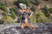
Tizón, more at ease than anybody else.
La Charca Verde
On 30 April (2022), also our first campervanning stay at la Pedriza, so an opening walk to the main one, on the next day.
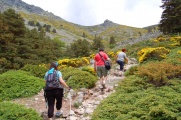
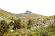
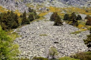
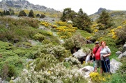
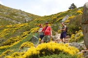
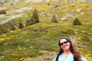
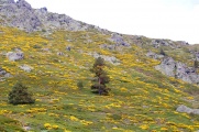
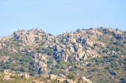
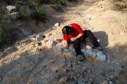
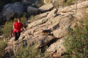
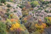
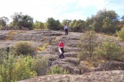
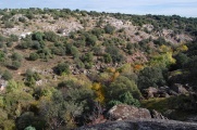
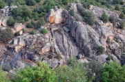
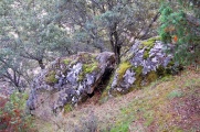
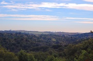
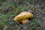
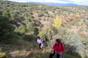
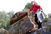
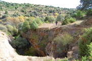
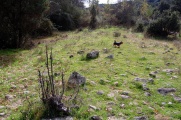
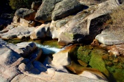
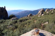
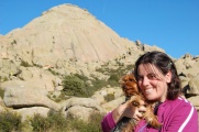
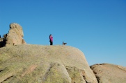
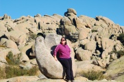
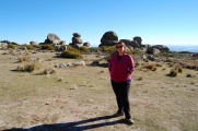
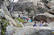
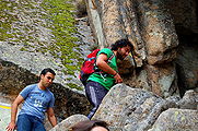
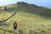
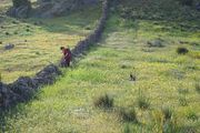
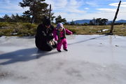
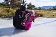
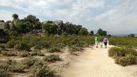
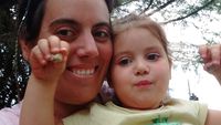
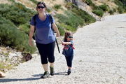
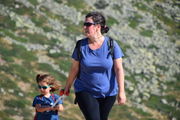
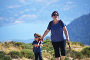
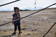
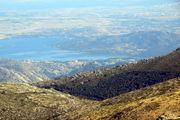
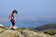
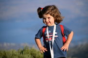
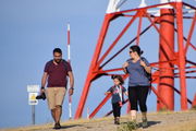
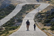
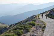
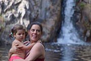
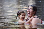
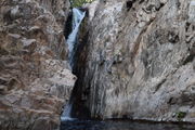
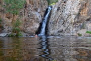
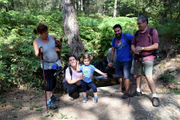
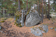
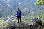
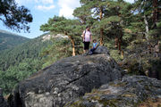
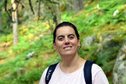
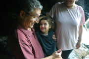
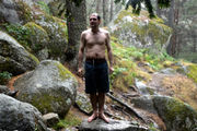
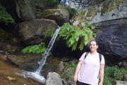
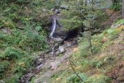
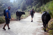
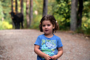
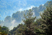
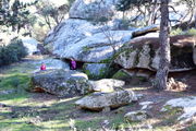
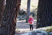
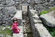
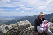
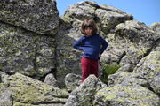
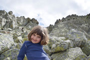
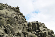
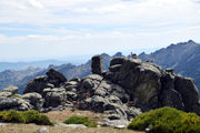
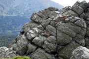
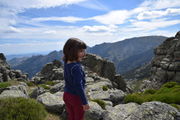
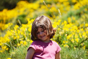
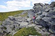
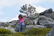
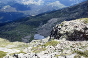
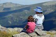
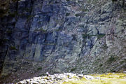
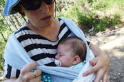
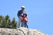
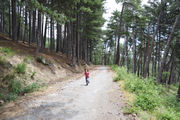
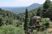
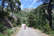
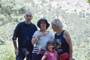
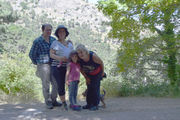
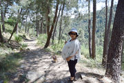
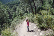
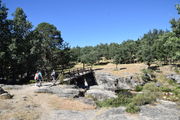
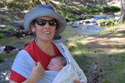
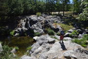
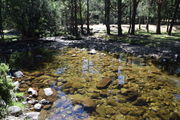
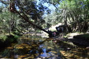
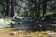
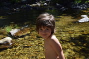
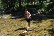
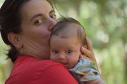
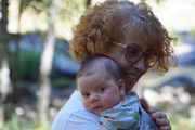
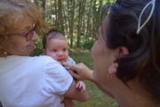
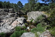
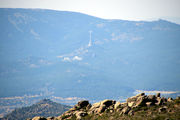
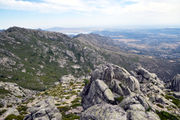
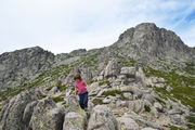
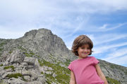
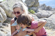
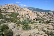
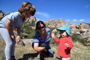
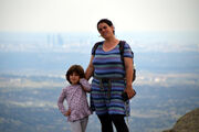
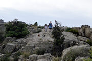
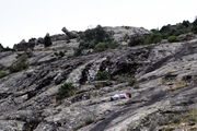
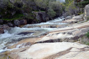
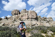
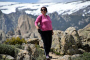
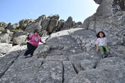
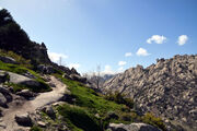
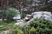
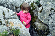
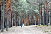
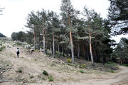
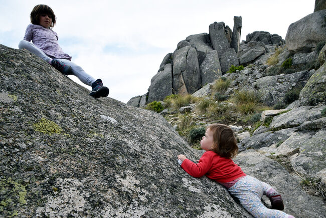
We walked along the Manzanares, from Cantocochino towards the Charca Verde, that was our destination on this occasion, although one can carry on further until the Chorros del Río Manzanares and probably up till the birth of the rio, in the Bola del Mundo. We crossed with a snake that swiftly slid on the rocks and jumped into the tumultuous waters, swimming with an unsuspected grace with little jerks of its head, that it kept out of the water, able to cross in no time, presumably far from us as it was in no mood to share the Pedriza with tourists. The Charca Verde used to be a star destination for bathing, but this is now forbidden. The smooth slops surrounding the basin are natural toboggans for children and the luckiest of them manage to fall in the water by accident, enjoying a swim that the guards would probably excuse. It was not the case of our skilled little mountaineer who however tried very hard to venture in the slippiest parts of the flanks.
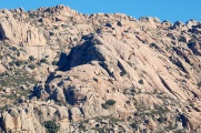
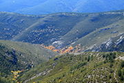
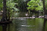
The Manzanares in la Pedriza.
Paradise 30 minutes from home.
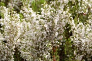
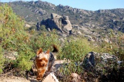
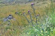
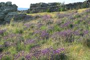
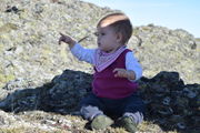
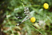
Luz studying the local flaura.
Yelmo and Tolmo
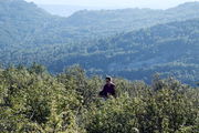
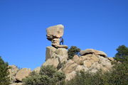
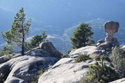
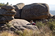
On 1 May (2022), following our warm-up at la Charca Verde on the previous day, we embarked on a long excursion in la Pedriza, doing and seeing more than we had bargained for.
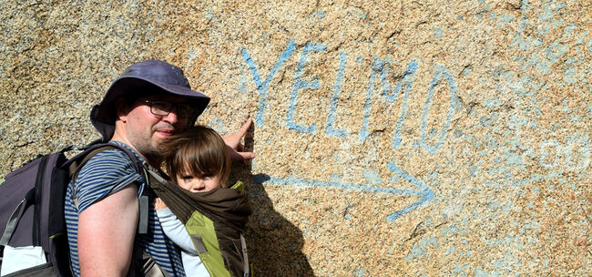
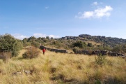
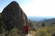
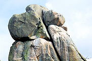
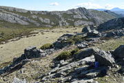
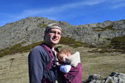
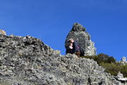
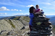
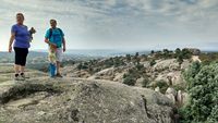
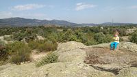
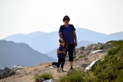
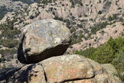
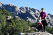
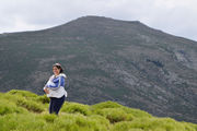
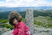
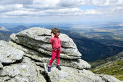
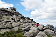
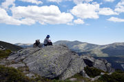
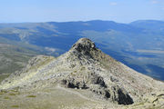
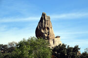
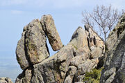
The main objective was el Tolmo, a giant rock which we had spotted on our excursion to El Caliz in December (2019), and had aimed to visit ever since, where, at a distance, it seemed to stand in plain view of a nice collado (saddle between two mountains). In real life, it turned out to be a much tougher target to reach. We initially mistook a smaller rock in the collado de la desehilla for it. Another highlight, however, was Julia successfully climbing the Yelmo, which is already tricky for adults and experienced people, but at the limit of feasibility for such a young mountaineer (7 years, 3 months and 25 days). Who says better?
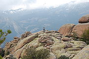
Back to the heart of the Pedriza.
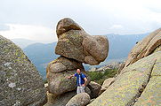
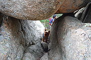
What type of mountaineering is this?
With la Bola del Mundo.
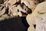
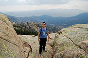
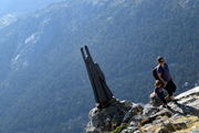
Proof that papa was there too. Behind him is a free fall to the ground.
Cabeza de la Braña
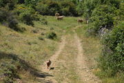
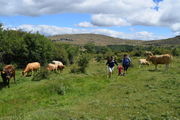
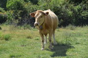
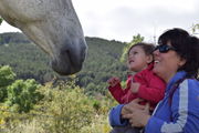
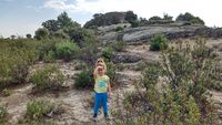
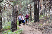
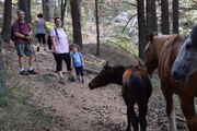
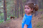
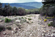
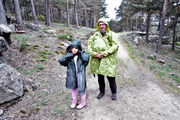
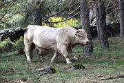
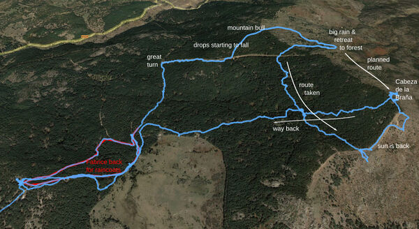
On 14 May (2022). This 12.8km, 6h10m hike was supposed to be a simple one, a short campervaning stay to relax and with a swift walk before Elena's shooting of ''Yo soy esa persona'' on the next day (Sunday). We opted for the puerto de Canencia, that we already knew for its abedular from a previous walk. We went in the other direction, not that of the famous waterfall, but towards the Cabeza de la Braña, which gives a splendid view of the Sierra de Canencia. Shortly after our departure, unfortunately, it became clear that it could rain and Fabrice was sent back to the car to get some raincoat. That was a wise choice since the situation, that had stabilized, broke into cold wind and shower banter just as we were ascending the peak, forcing us to retreat towards the woods where we intended to terminate the excursion and come back to the car, but the sun eventually came back in a radius blue sky, so we finally reached the top from the other side and cut through the woods. We met a biker who also turned back, not for the rain though, but for the cows that we indeed met later on with no clue why he would find them an obstacle. At the most intense peak of rain, Julia spotted a beautiful salamander, shining intensely of wet black and yellow. We could not marvel too much at her due to the wind and rain and proceeded to take cover in the forest. At the end of the trip, Julia also spot a small snake, probably an adder, that was hiding in the rocks and defiantly looked at us before swirling through in the entrails of the mountain.
With Giono (Les vraies richesses).
Back in the light from the other side of the forest, with the long-sought sight of the Sierra de Canencias.
Garganta de los montes, in the distance.
Overlooking la Sierra de Canencias.
To do
- Puente de los pollos en la Pedriza (e.g., [2])
- La cresta de la Cabrera (e.g., [3])
- Cabeza de Hierro (menor & major) (e.g., [4] or [5]).
- la Maliciosa desde la Bola del mundo.
- Toda la cuerda larga
- La torres de la Pedriza y el dedo de Dios.
- Canteras del Jaralon (gran cantera) en la Pedriza.
- Los Chorros del Río Manzanares.
- Cascadas del Purgatorio
Links
- https://sierranorte.com/reportajes/ Visitas y rutas.
| ||||||||||||||||
