m (→Clent Hills) |
m |
||
| Line 70: | Line 70: | ||
On {{thisday|8|February|2020}}. | On {{thisday|8|February|2020}}. | ||
| − | + | {{#lst:Clent_hills,_Hanbury_Hall_%26_Himley_park_(February_2020)|ClentHills2020}} | |
| − | + | ||
| − | + | ||
| − | + | ||
| − | + | ||
| − | + | ||
| − | + | ||
| − | + | ||
| − | + | ||
| − | + | ||
| − | + | ||
| − | + | ||
| − | + | ||
| − | + | ||
| − | + | ||
| − | + | ||
| − | + | ||
| − | + | ||
| − | + | ||
| − | + | ||
| − | + | ||
| − | + | ||
| − | + | ||
| − | + | ||
| − | + | ||
| − | + | ||
| − | + | ||
| − | + | ||
== Possible walks == | == Possible walks == | ||
Revision as of 13:48, 22 February 2020
Contents |
Hiking the British mountains and hills
This is a list of our walks in everything hilly in the UK (so this basically qualifies as Mountaineering).
The spots to explore are mainly:
- The Berwin range, in Wales (the closest)
- Snowdonia, in Wales (also close and more scenic, we started there in April (2017).
- The peak district.
- The black mountains (south Wales).
- The lake district.
- Cheviot Hills.
- Highlands, in Scotland.
- Irish mountains (MacGillycuddy's Reeks, Mourne & Sperring mountains).
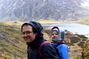
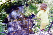
Llyn Idwal
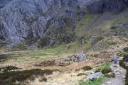
On 15 April (2017), with Camilo, as part of our Easter trip to Wales (April 2017).
Llyn Idwal is a small lake in the Pont Pen-y-benglog area.
The Pont Pen-y-benglog area.
In the Snowdonia national park.
With paysages of outstanding beauty.
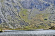
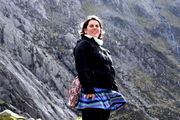
The Llyn Idwal lake.
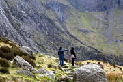
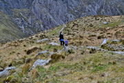
You can walk around following a well delineated path.
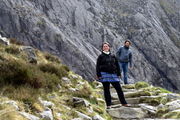
Elena and Camilo ready to make the loop.
Each sight is fantastic.
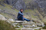
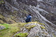
Taking a rest.
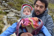
Julia stepping down from my back.
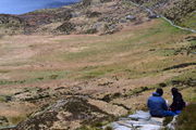
Picnic with a view.
Back on the trail.
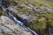
A more difficult bit to cross.
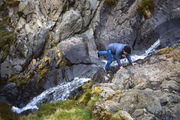
Julia ready to keep going.
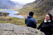
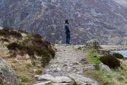
The highest point of our itinerary.
A moment's reflection at our local top.
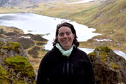
The lake from above.
Looking for the way down.
Found it!
Back to the easy trail.
Rocks snapped by water like fingersticks.
Julia on her own.
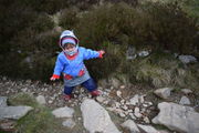
With difficulties kindly adapted to her by the moutain.
But mummy is never very far.
Last look at the lake.


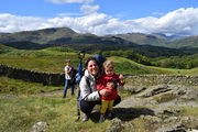
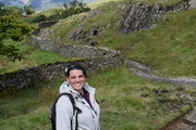
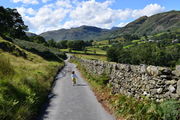
Our first lakes of the Lake district and the Cathedral Cavern
On 12 August (2017), with Georges who was visiting us and UK. This walk brought us round the Tom Ghyll waterfalls, the Tarn Hows lake, the mind-blowing Cathedral Cavern, some Cumbrian quarries and the Yew Tree Tarn lake.

Tom Ghyll waterfalls.
At the beginning of the tour.
Arriving at the lake: Tarn Hows.
It was still raining profusely.
One of the treasure trees.
Weather got sunnier and we could picnic here.
Back on the track.
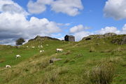
Lambs happily and freely grazing.
Beautiful stone wall.
Extending over infinities.
Good spirits.
Escaping.
On the bridge.
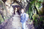
A tunnel in the quarries.
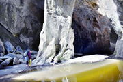
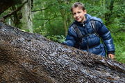
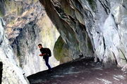
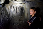
The Cathedral Cavern, the highlight of the walk.
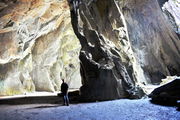
A pillar that seems to hold the mountain.
The quarries.
A spot discovered by Georges.
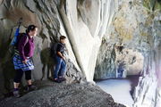
Literally a balcony on the Cathedral Cavern.
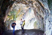
Probably one of the big sights of England.
Back to the quarry.
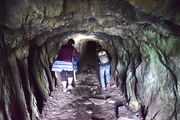
In another tunnel.
It is not clear where this one is going.
Back on our track, to close the loop.
Tiredness as the day comes to its end.
Last pause on the Yew Tree Tarn lake.
Georges chasing lambs as we wait for the girls.


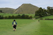
Thorpe Cloud
On 13 August (2017), the following day of the previous hike, still with Georges. This one was in the Peak District.

On 13 August (2017). On our way back from the Lake district, as this was a long way to Wolverhampton, we stopped at the Peak district. Although we camped in the evening, we had time for a delightful walk to the Thorpe Cloud. Not only has the mountain a fantastic shape, the walk (we parked in the nearby Ilam rather that at the overpriced Dovedale car park) through the fields with lambs running round and crossing the Dovedale stepping stones was big fun. The only negative point of the day was that we did not find any place to eat and ran out of gas in our tent, hence this was a frugal last day after much walking.
Finishing to install our tent.
From Ilam to the Thorpe Cloud.
We met many lambs on the way.
From one field to the next.
Getting there...
Another stile.
Julia seemed to have done that all her life.
Georges chasing lambs again.
Ascending the Thorpe Cloud.
A steep slope. Lambs are quickly receding into dots.
Reached the top!
The view from there.
Everybody there.
Pausing with the river Dove.
Georges pointing at a hot balloon.
View on the other side.
Georges in the peak's greenery.
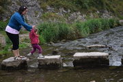
The stepping stones over the Dove.


Round the Wrekin
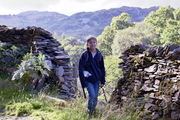
The Wrekin is a mythic hill of Shropshire, although not an impressive one to the eye; here you see Julia and Elena in front of it:

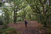
It is nevertheless a prominent, well-known and cherished local landmark, if not a symbol of Shropshire (at least to motorists who recognize it from the nearby motorway). A famous local expression (that locals would tell me when hearing of our excursion) is going round the Wrekin to mean, taking endless detours. There is also an adorable legend about a giant (Gwendol Wrekin ap Shenkin ap Mynyddmawr) discouraged in its plot to smother Shrewsbury by a clever cobbler, resulting in the material he had collected to be dumped at its present location. The otherwise flat surrounding indeed makes this vestige of a foiled revenge stand out, even though it is a mere 407m above the plain. It is the extension of Shropshire AONB into Telford and is also of much geological significance for its little companion, the Ercall which stands by its side. You can access both, starting with the Ercall, from Wellington's train station, which is how we approached this legend. The walks through the nearby woods are enchanting. It was a very windy day, so much so that we could not stay too long without taking cover. It is said to be extremely popular although we found few other people and even found ourselves alone treading it at some point.
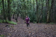
The woodland of the Ercall.
Julia did some walking but still spent much of the walk somewhere on top of me.
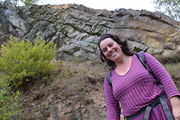
Elena with the Ercall rocks.
With a better view. The expert eye can discern a clear geological fault here. If you have time you can find sediments around.
Pausing for the photo, looking natural.
A hiker in the making.
Julia increasingly covers parts of our walks on her own.
Getting near the top of the Wrekin.
Here we are.
The blues of achievement.
It was so windy, we had to take cover behind these rocks.
which were good enough shelter for a snack.
with beautiful views of Shropshire.
These views.
Time to keep going round the Wrekin.
Little Julia being informed of Gwendol Wrekin ap Shenkin ap Mynyddmawr.
Running with the wind.
A few meters from the top, and the wind had completely gone... it was as if the Wrekin wanted to simply blow us off.
Back in the woods.
Almost there.
Back to our starting point, on the other side.


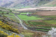
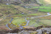
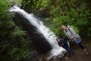
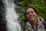
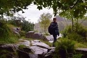
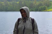
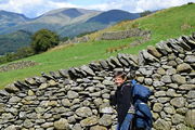
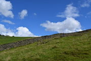
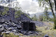
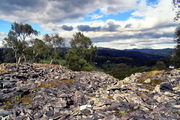
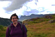
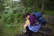
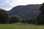
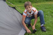
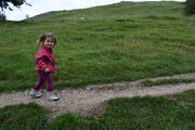
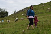
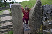
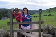
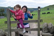
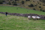
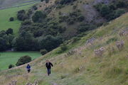
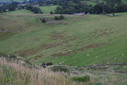
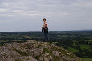
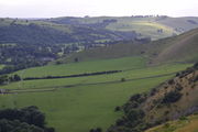
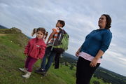
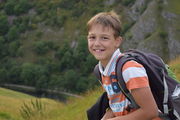
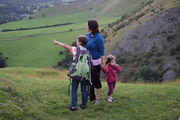
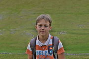
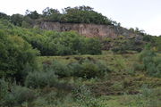
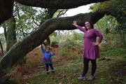
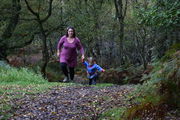
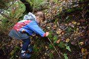
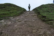
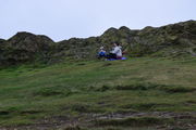
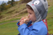
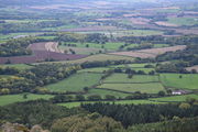
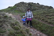
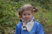
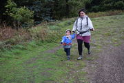
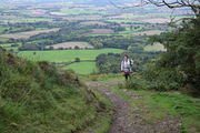
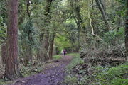
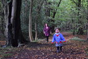
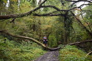
Clent Hills
Possible walks
Others that one could make from a train station (as we did for the Wrekin).
- Mam Tor and the Great Ridge from the Hope (Derbyshire) station.
- Stanage Edge from Hathersage station.
- Matlock Bath, High Tor and Heights of Abraham from Matlock Bath.
- Hathersage Moor and Padley Gorge from Grindleford.
Snowdonia:
Midlands:
Links
- https://www.walkingenglishman.com Great site with many well-documented walks.
| |||||||

| ||||||||||||||||
