m (→Pictures) |
m |
||
| Line 25: | Line 25: | ||
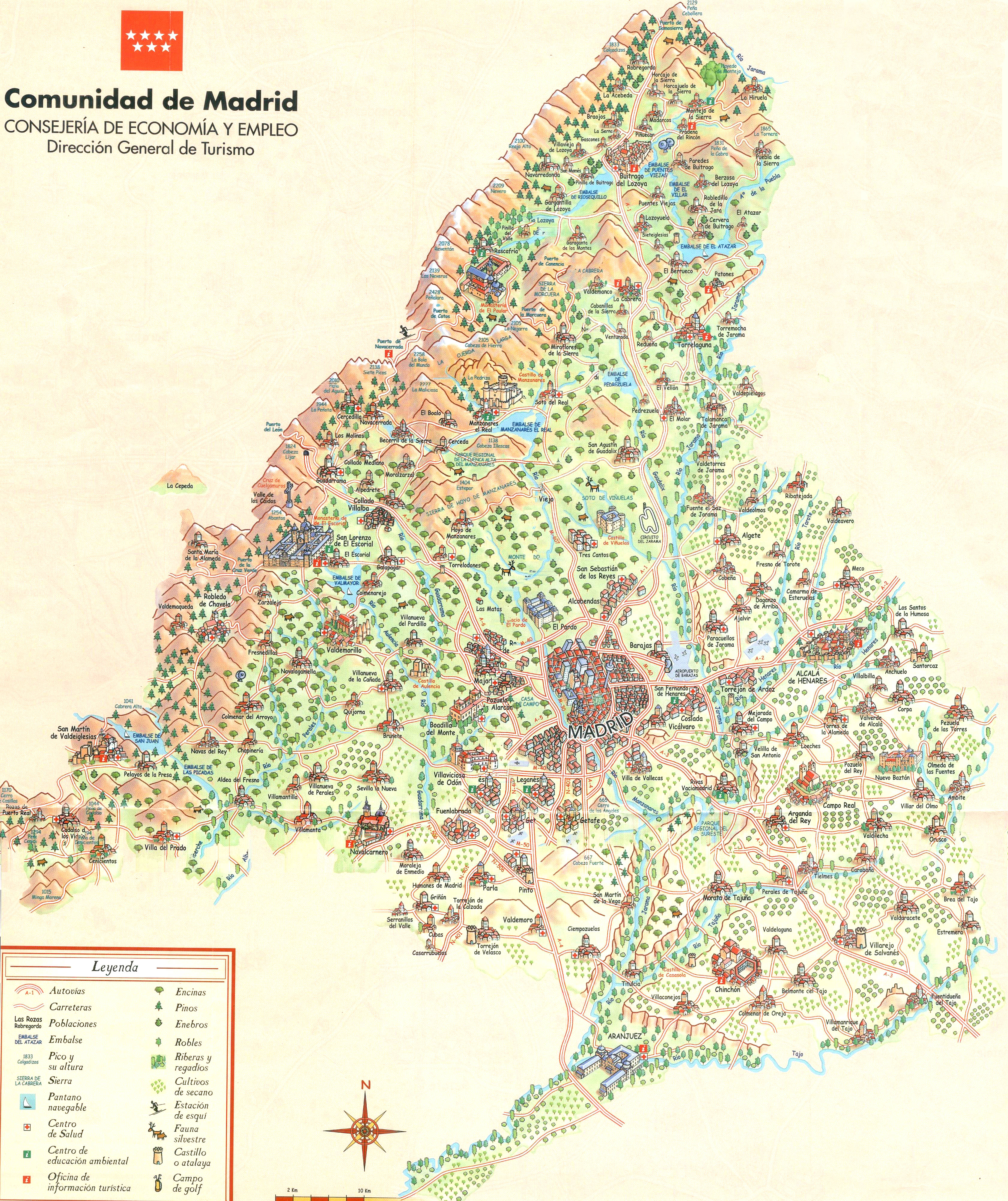
The touristic map below (from the ''Dirección de economía y empleo'') gives a pleasant overview of the main attractions (it has a few glitches): | The touristic map below (from the ''Dirección de economía y empleo'') gives a pleasant overview of the main attractions (it has a few glitches): | ||
| − | <wz tip="An overview of the ''Comunidad de Madrid''.">[[Image:Plano-turistico-Comunidad-de-Madrid.jpg|700px]]</wz> | + | <wz tip="An overview of the ''Comunidad de Madrid''.">[[Image:Plano-turistico-Comunidad-de-Madrid.jpg|700px|link=http://laussy.org/images/7/7b/Plano-turistico-Comunidad-de-Madrid.jpg]]</wz> |
Revision as of 23:56, 2 February 2013
Madrid
Madrid is the capital of Spain. We live (in Tres Cantos) and work (at the Universidad Autónoma de Madrid) at a close distance from it.
The satellite view below show the extent of the city from the Palacio Real on the left to el Retiro on the right. Cutting the city in two like a river, the aptly named calle Mayor meets with the Puerta del sol after it grazed by the imposing Plaza mayor (a gigantic depletion in the layout of roofs), and continues afterwards as the never ending calle de Alcala through the famous Cibeles.
Pictures
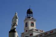
La Mariblanca as if impatient in front of the reloj de Losada en la Puerta del Sol.

Artists en la calle Arenal.
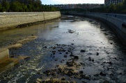
El Manzanares in Madrid.


Comunidad de Madrid
By Madrid is often understood the Comunidad de Madrid which encompasses the following municipalities (all of them together gathering a total of 14% of the Spanish population):
The touristic map below (from the Dirección de economía y empleo) gives a pleasant overview of the main attractions (it has a few glitches):